Geological condition
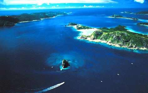
The Ryukyu archipelago is divided into northern Ryukyu, central Ryukyu, and southern Ryukyu. Northern Ryukyu is located in the north of Tokara strait, which runs between Takara Island and Akuseki Island. Central Ryukyu is categorized between Tokara strait and Kerama strait, which runs between Okinawa Island and Miyako Island. Southern Ryukyu is categorized in the south of Kerama strait. Compared to northern Ryukyu and central Ryukyu, the quality and composition of rock and fossil in southern Ryukyu are different. Northern Ryukyu is on Tokara volcanic archipelago. Central Okinawa ranges from Iheiya Island and Izena Island to Kume Island and Kerama islands, Daitou islands. Southern Ryukyu is Ishigaki Island made of coral. The Ryukyu Islands are partly composed of coral reef but most of the islands composed of fossil remains. 30% of the total area of the Ryukyu Islands is made up of Ryukyu limestone. Most of the fossils are coral, foraminifera, lime alga, bivalve, univalve shell, polyzoan, and sea egg so on. The surface of Ryukyu limestone is hard because it is recrystallized by rain. It forms karst.
Geological condition The Ryukyu limestone can not be seen on Kerama islands, Tonaki Island, and Iheiya Island, and Izena island so on. 70% of the cultivated area is composed of the red soil that can be seen in subtropical region. The red soil is called Ma-ji. The red soil is formed by weathered limestone and can be seen southern Okinawa and Miyako Islands. Another soil, Kucha, which stays with the red soil, can be seen in cultivated field. The board like rock that is distributed on the beach is called beach rock. It is formed by pressing sand, pudding stone, and calcium carbonate. Beach rock can only be seen in the coast tropical areas like Okinawa. It was formed about 1000or 2000 years ago. By investigating the height of Beach rock, we can understand the change of sea level and movement of the earth's crust from the Jomon Era to now.